Aller au contenu principal
+33 5 53 31 45 45
I prepare my stay
I am on site
10°
en
Voir les favoris
Discover
Périgord
Destination
The town of Sarlat
The Dordogne Valley
Lascaux and The Vézère Valley
Rocamadour and the Lot region
Villages around Sarlat
The Fénelon area
Les incontournables
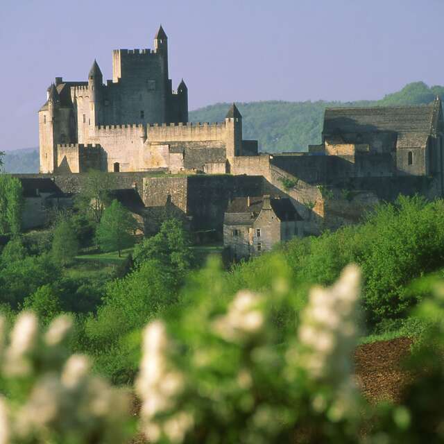
Patrimoine Beynac Sd Dan Courtice 2016 (1)
©
Patrimoine Beynac Sd Dan Courtice 2016 (1)
All the castles of Perigord
Le Taureau de Lascaux
©
Le Taureau de Lascaux
Prehistory in the Périgord
Marché bio de Sarlat
©
Marché bio de Sarlat
Markets of Sarlat and Perigord
Prepare
your stay
Informations pratiques
Camper van service stations in Sarlat
shop space
Shops and services
Must-have apps for your stay
Hotel Dan Courtice (29)
©
Hotel Dan Courtice (29)
Hotels and hotels with restaurants
Holiday rentals
Stopover gîtes
Locations Dan Courtice (2)
©
Locations Dan Courtice (2)
Bed-and-breakfasts
Camping Dan Courtice (10)
©
Camping Dan Courtice (10)
Campsites
Holiday villages & holliday cottages
The Sarlat agenda
Download brochures
Sarlat Tourisme - Périgord Noir
Choose
your activities
Culture & patrimoine
Tours of towns and villages
All the castles of Perigord
Caves, chasms and archaeological deposits
Remarkable gardens and parks
Bien être et remise en forme
Spas and institutes
Loisirs et activités de plein air
Water activities
Theme and recreational parks
Taxis & Excursions
Terroirs et gastronomie
Gourmet Perigord
Local producers
Restaurants and country inns
En famille
Theme and recreational parks
Book
your stay
Activités sportives
In the air
Terra Aventura à Sarlat , le géocaching pour toute la famille en plein cœur du Périgord
©
Terra Aventura à Sarlat
Geocaching Tèrra Aventura
Welcome to Sarlat, Capital of the Périgord Noir – EN
Parcours VTT N°6
Parcours VTT N°6
Mountain biking
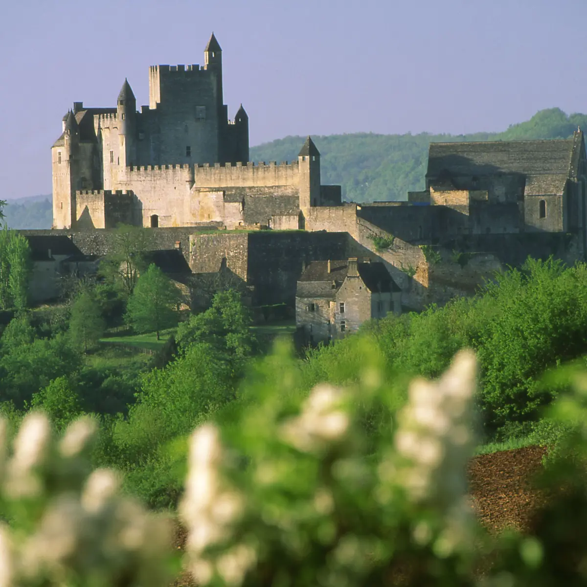
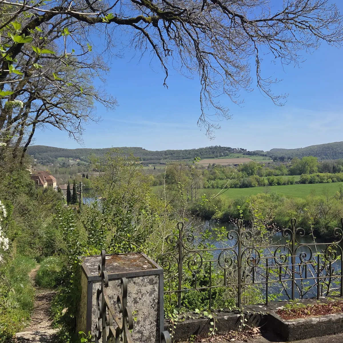
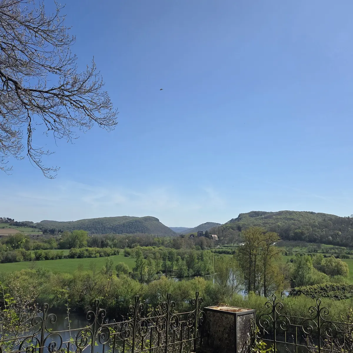
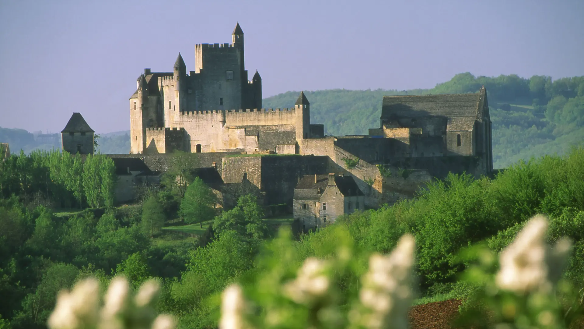
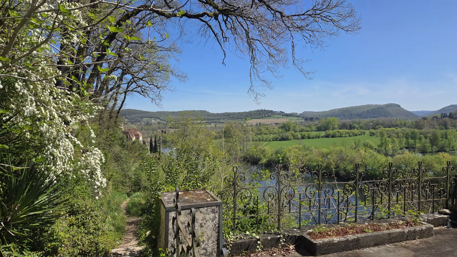
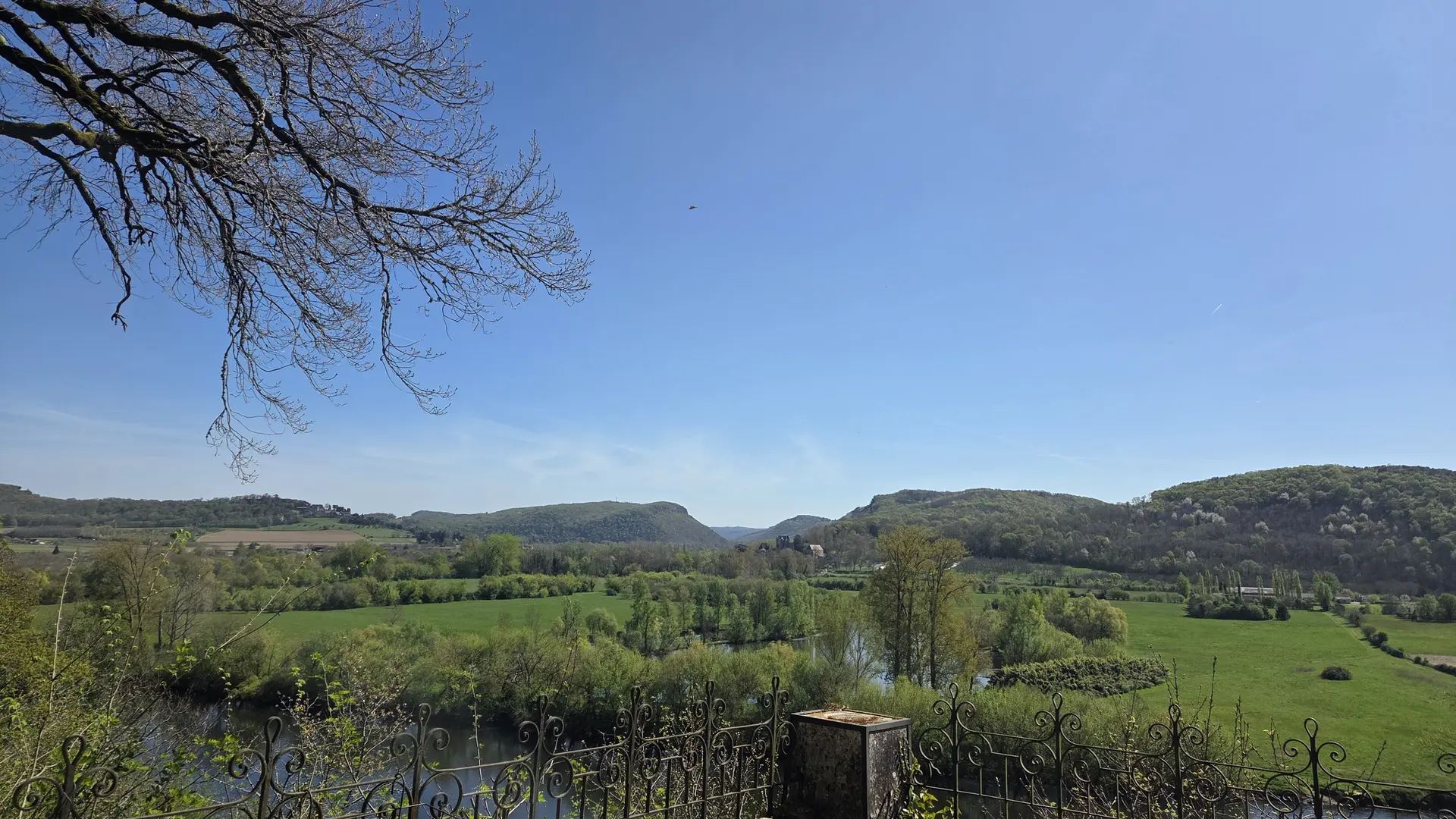
24220 Beynac-et-Cazenac
Getting there
×
Open the itinerary in
Google Maps
Apple Plans
Waze
Mappy
Share
Ajouter aux favoris
Add to my favorites
×
Share this sheet
Parcours VTT N°6
E-mail
WhatsApp
Facebook
X
LinkedIn
Pinterest
×
Documentation
circuit 6 Points de vigilance.pdf
Close
Popular searches
{% label %}
Page suggestions
Book Online
Parcours VTT N°6
Fest Oie
©
Fest Oie
|
Mathieu Anglada
Fest'oie of Sarlat
Filter search
Page types
All
Articles
Agenda
Lists
Aucun résultat
/
English
Français
Italiano
Español
Deutsch
Русский
Close
×